|
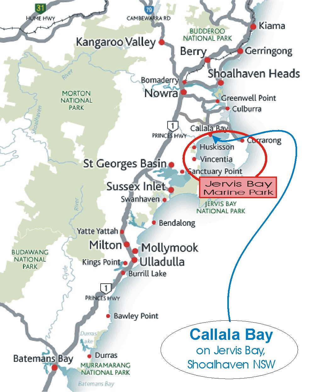
Where are we ?
State: New South Wales, on the East coast of Australia
Region: South Coast
Local Government Area: Shoalhaven
LGA size: 4660 sq.km.
LGA Description: Two larger centres, with a network of
49 smaller villages, mostly on the coast, plus prime
agricultural land
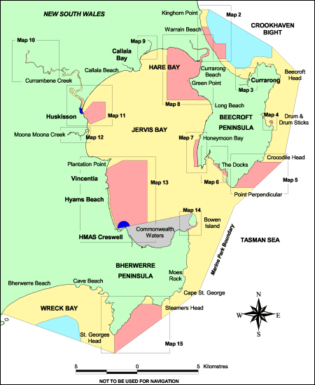
Area of LGA land in State Forests 11%, National Parks 49%, unused Crown Land 8% totalling 68%, plus Commonwealth reserved land open space to a total of 80%
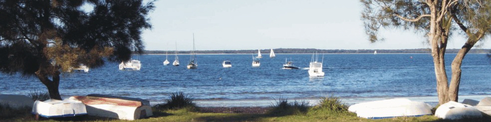
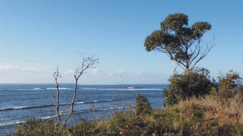
Shoalhaven Beaches both surf and bay waters: 109
Shoalhaven population: 96,000
Distance North to Sydney: 163kms
Distance South-West to Canberra:
Via Batemans Bay 278kms
Via Goulburn 218kms
Via Nerriga 207kms
Climate: Temperate
Summer - Min: 16.1˚c/61˚F , Max: 25.8˚c/78.4˚F
Winter - Min: 6.2˚c/43.2˚F Max: 15.8˚c/62.4˚F
Average Rainfall: 1110.1mm No. of rain days: 65.8
|